

New Maps Will Help Cities & Towns Curb Pollution
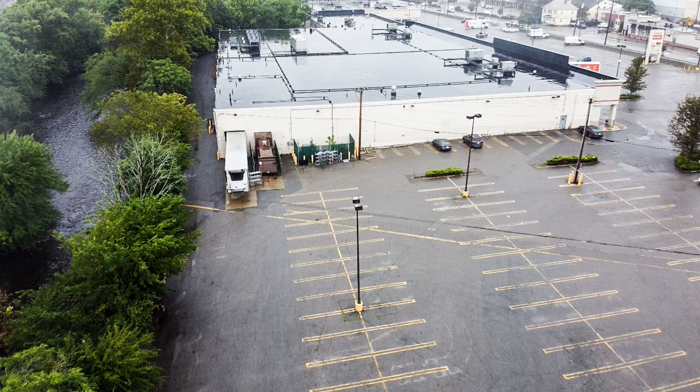
As many of you know by now––pollution from our parking lots, sidewalks, driveways, and roads is bad news for our river––causing invasive species growth, toxic cyanobacteria blooms, and more.
Tracking changes in land use is critical for understanding pollution sources, but it’s a monumental task for cities & towns. That’s why we partnered with the University of Vermont Spatial Analysis Laboratory to develop an updated Land Use Land Cover map for the entire Charles River watershed!
This critical data will allow communities to better plan & take action to reduce pollution. Thank you to MA Department of Environmental Protection (DEP) for funding this work. Learn more in our recent presentation.